The Travels of Tug 44 |
|
Cohoes Falls - Mohawk River |
 |
|
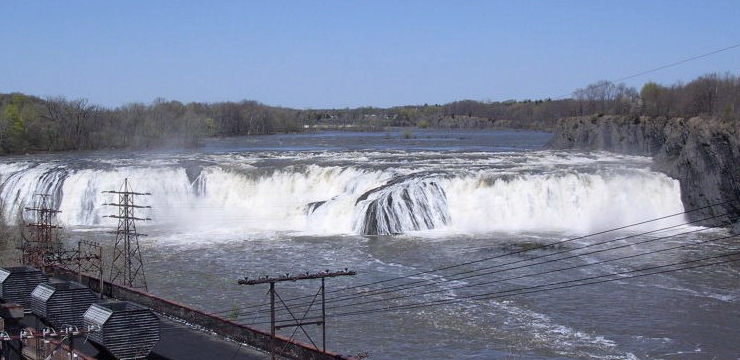
Cohoes Falls is about 75 feet high and some 1,000 feet wide, and located near the end of the Mohawk River where it meets the Hudson River. The Erie Canal overcomes this navigation barrier with the Waterford Flight, a series of 5 locks running from above the Crescent Dam, to the town of Waterford. In the 1830's, a dam was built above the falls and the water provided power for industrial plants in Cohoes. Harmony Mills became the largest cotton mill in the country at that time. Seen here is a very large flow over the falls, caused by the spring melt.
Photo by Howard Ohlhous
|
 |
|
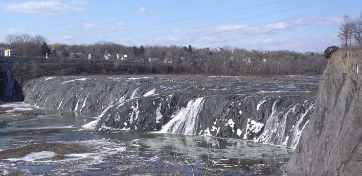
Here is a view of the falls in winter with very little water flow. Much of the water from above the falls is diverted into a raceway to supply the School Street Hydro Plant in Cohoes.
Photo by Howard Ohlhous
|
 |
|
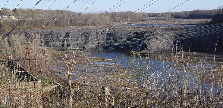
In late summer the waterfall runs dry sometimes.
Photo by Howard Ohlhous
|
 |
|
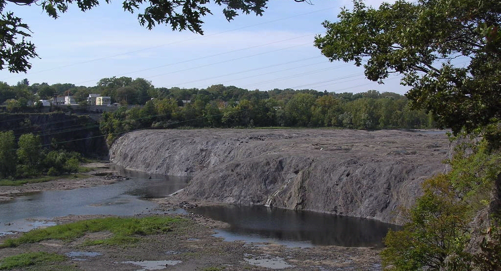
Side view of the falls, dry. see the full-sized photo.
Photo by Howard Ohlhous
|
 |
|
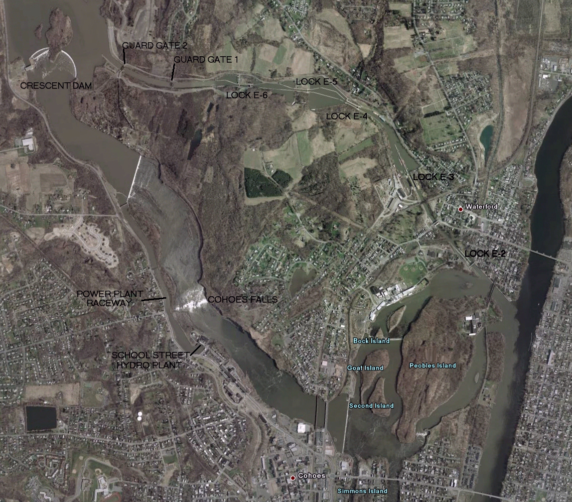
This satellite view shows the natural Mohawk River in the lower left from the beautifully curved Crescent Dam, to the Cohoes Falls, with the hydro plant and raceway alongside the falls. In the upper right area are the Waterford Flight Locks, providing a navigation route around the Falls. The total drop from the Crescent Dam to the Hudson River at this location is about 200 feet. For better detail, see the full-sized photo.
|
|
|
|
In 2010, Hurricane Irene dumped an astonishing amount of water in the Mohawk Valley. Seen in this video, all that dirty brown water went over Cohoes Falls.
|
|
http://ny.water.usgs.gov/rt/pub/01357500.htm |
Lighthouses - Canal Corp Boats - Tugboats & Trawlers